
Every fire chief, IT lead, and battalion commander who’s worked a multi-day wildland or Wildland-Urban Interface incident knows the moment we’re about to describe.
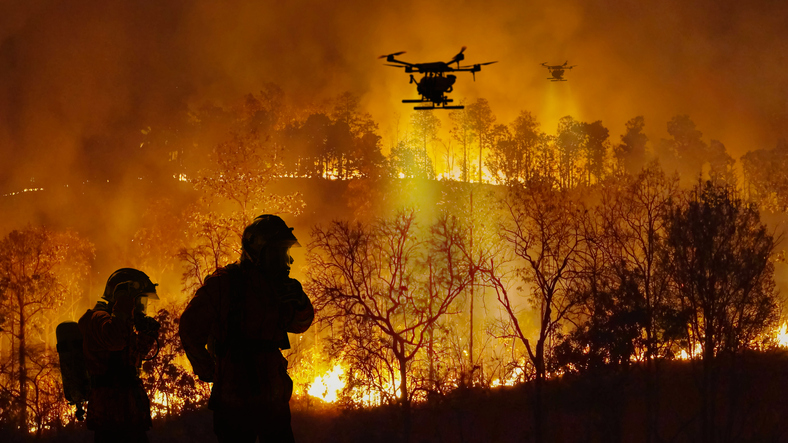
It’s hour 36. The incident has scaled from local to regional. Mutual aid is rolling in from three states. The cab temperature has been over 110 for two days. A primary cellular tower went down on Sunday afternoon. The carrier that used to be your backup is congested with evacuees, residents, media, and every responder on scene. The iPad on the engine has been throttling on and off all morning. The unified command post is asking for current unit positions, and your common operating picture is showing data that’s eight minutes old.
That’s the moment that separates an AVL platform built for the urban environment with a wildland feature bolted on from an AVL platform architected from the start for the conditions wildland incidents actually create.
What changes when AVL crosses into the wildland and WUI environment
Urban AVL operates on a forgiving environment. Dense cellular coverage. Short incidents. Mostly homogeneous fleets. Mutual aid is the exception, not the rule. Wildland and WUI operations break every one of those assumptions.
Coverage is hostile. Cell towers go down or get overwhelmed. Carriers congest. Topography blocks signal. Single-carrier LTE — the connectivity model behind most AVL platforms — fails routinely under these conditions, and when AVL data stops flowing, situational awareness goes dark.
Fleets are mixed. A single major incident in California can involve structural engines, Type 3 wildland engines, water tenders, brush rigs, command vehicles, hand crews on transport, contract dozers, helitack and aerial resources, CAL FIRE units, federal interagency resources, and out-of-state mutual aid arriving via EMAC. Every unit needs to appear on the same operational picture. Most AVL platforms support a narrow vehicle profile and lose visibility on the rest.
Incidents run long, hot, and remote. The equipment that performs on a 30-minute structure fire is not the equipment that performs on hour 36 of a major incident at 110 degrees. Routers reboot. Tablets shut down. Batteries drain. AVL platforms designed for short incidents go dark exactly when the incident is at its most complex.
Mutual aid is the operating model. Wildland response scales rapidly across agencies. The AVL platform has to bring all of them onto a shared operational picture without forcing them onto the same vendor, the same radio, or the same CAD.
What it takes to stay online when it actually matters
A wildland and WUI-ready AVL architecture is built on a different foundation than urban AVL. RadioMobile’s approach, deployed across CAL FIRE and California’s largest fire agencies, is built on four pillars.
Multi-bearer connectivity. Concurrent connections across FirstNet, Verizon, and T-Mobile cellular, Starlink and OneWeb LEO satellite, legacy Viasat and Iridium for narrowband resilience, and radio for voice-critical fallback. Not failover. Concurrent. If one path congests or fails, the others are already passing traffic.
Intelligent SD-WAN with link bonding. Multiple bearers fused into a single virtual pipe that aggregates bandwidth and steers high-priority CAD traffic to the best available path with sub-second switching. No dropped sessions, no lost data, no manual intervention from the crew.
Fire-grade in-vehicle hardware. Ruggedized Cradlepoint, Sierra Wireless, and Peplink routers anchor a Wi-Fi 6 vehicle bubble supporting iPads with active cooling, MDCs, drone telemetry, and personnel bio-telemetry. Everything mission-critical is hardwired. Everything else is high-capacity wireless within 300 to 500 meters of the apparatus.
A common operating picture that scales. Every vehicle — engines, brush rigs, water tenders, command, dozers, aerial — and every mutual-aid partner on the same map. GIS overlays for fire perimeter, evacuation zones, and structure threat. Real-time AVL feeding fire-progress modeling to prevent blue-on-blue incidents and entrapment. Drone and UAS feeds processed at the edge and backhauled to command via bonded links.
Why this matters for the 2026 fire year
Fire seasons keep getting longer, hotter, and more interface-dense. WUI growth keeps accelerating. Mutual aid keeps scaling further from local to interstate. The agencies that perform across all of that are the ones that built their AVL and communications architecture for the worst day of the year, not the average one.
Generic AVL platforms are built for the average day. Public-safety platforms with wildland features added on are built for the second-worst day. The platforms built from the start for the worst day — multi-bearer, link-bonded, hardened, mixed-fleet capable, multi-agency interoperable — are the ones that are still passing traffic on hour 36.
RadioMobile was designed for that day. The platform supports thousands of fire apparatus across CAL FIRE and the largest fire agencies in California, on real wildland and WUI incidents, with the connectivity, hardware, and common operating picture that wildland operations actually require.
To chiefs, deputy chiefs, fire department IT leads, and operations sections working wildland and WUI right now: what’s been your hardest connectivity moment on a major incident? For departments scaling toward more wildland-capable AVL, what capability is rising fastest on the priority list? We’d genuinely like to hear it.
